Castellón designs a guide with five routes to enjoy hiking and heritage
Updated Saturday,
1
may
2021
–
13:16
‘Walking, enjoying and smiling’ is the tourism proposal that offers an alternative to rediscover the municipal term

Castelln City Council launches a new proposal to enjoy hiking and nature with a guide that includes five routes through the municipal term, adapted to different levels and designed for free. The programme, called ‘Walking, enjoying and smiling’, includes QR codes for each route that allow you to follow the itinerary.
“We launched this new proposal from the Municipal Tourism Board that allows us to combine nature and the heritage of Castelln, offering an alternative leisure and outdoor sport”, explained the councillor for Tourism, Heritage and green infrastructure, Pilar Escuder. “We value the natural resources of our city and provide neighbors and tourists a guide to choose the route that best suits their needs and concerns”, he stressed the same Councilor.
‘Walking, enjoying and smiling ‘is part of the package of proposals to visit the city framed in the campaign’ Castell a tu aire’, with initiatives that allow planning a safe proximity tourism, to enjoy the resources offered by Castelln complying with all preventive measures and restrictions to protect health against the coronavirus.
The five routes are as follows:
Route of the pilgrimage: 14.4 kilometers and medium-high difficulty
Itinerary: Plaza Mayor – Plaza del Primer Mol-Hermitage of Sant Roc – Hermitage of la Magdalena-Hermitage of Sant Roc – Plaza del Primer Mol – Plaza Mayor
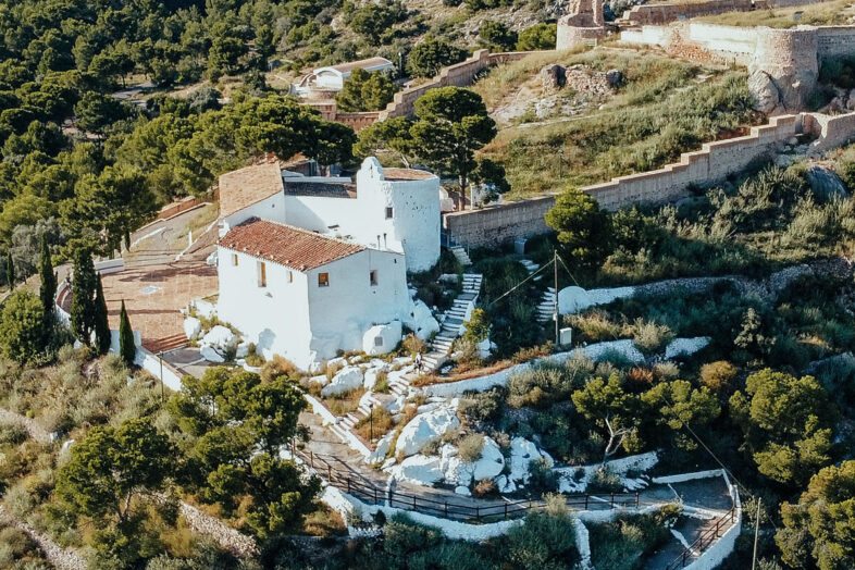
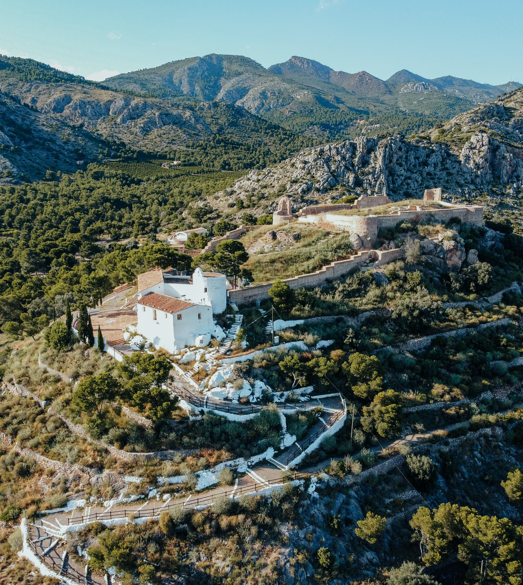
This route runs along the camino De La Romera to the Hermitage of la Magdalena starting from the center of the city. It recalls the transfer of the town from the Cerro de la Magdalena to the plain.
Route of the invaders: 18 kilometers and medium-high difficulty
Itinerary: Planetarium-Mol La Font-Hermitage of Sant Francesc-interpretation centre of Castell Vell-Hermitage of Sant Francesc-Mol La Font-Planetarium
This route follows in the footsteps of the invaders who came to the coast with the intention of looting the villages of La Alquera de Fadrell and Castell Vell. These invasions take place between the twelfth and sixteenth centuries.
Route to Tossal Gros: 12 kilometers and medium difficulty
Route: Hospital de la Magdalena – Tossal Gros – Hospital de la Magdalena
This route reaches the highest hills of the Municipal District starting from the Hospital de la Magdalena. It is a round trip with a certain slope, which allows you to contemplate a perspective of Castell.
Route from Tombatossals to Meridiano Park: 5.4 kilometers and low difficulty
Travel: Tombatossals-lled Basilica-Flat Road-Meridian Park-Flat Road – lled Basilica-Tombatossals
This is a route designed for families. It runs on flat ground. It begins in the sculpture of this figure of the mythologa castellonense, located on the avenue of Lidn, to reach the Meridiano Park, located halfway between the urban district of Castell and the sea.
Route from the Baslica del lled to Gurug Beach: 9.2 kilometers and low difficulty
Itinerary: Baslica del lled – Camino de la Plana – Gurug Beach-Camino de la Plana-Baslica del Lled
This route starts from the Hermitage of Lled to travel one of the most important vas that connect the town with the coast.
According to the criteria of
The Trust Projectslearn more


